by Curt Remington | Sep 19, 2025 | Trip Reports
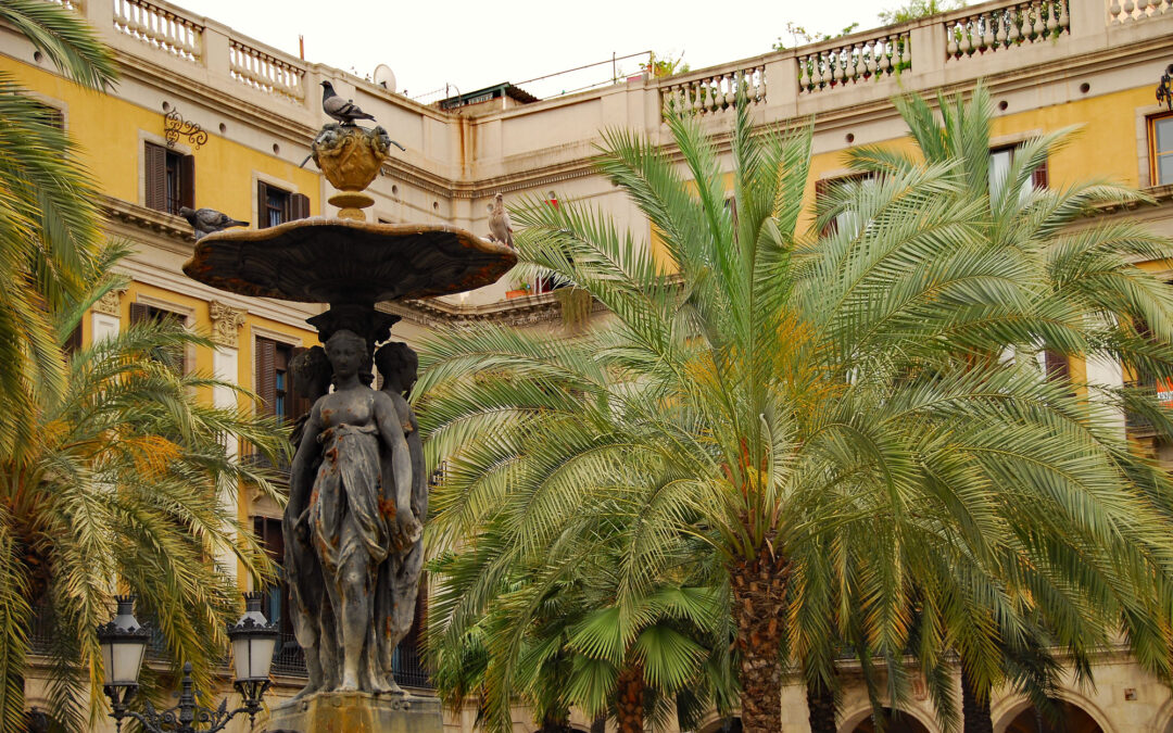
One of the many joys of traveling through Europe is how easy and affordable it is to hop between countries, like from Italy to Spain. Discount airlines, trains, and buses make the logistics surprisingly smooth — though not always in a straight line. We couldn’t find a...
by Curt Remington | Sep 19, 2025 | Trip Reports
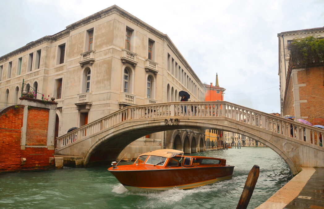
Venice, Italy Venice, Italy is like nowhere else I’ve ever been. Built on more than 100 islands, the city is a maze of canals and bridges — over 400 of them. No cars, no buses. People and goods move by boat, or on foot. The entire place feels like a dream set in stone...
by Curt Remington | Jul 31, 2025 | Trip Reports
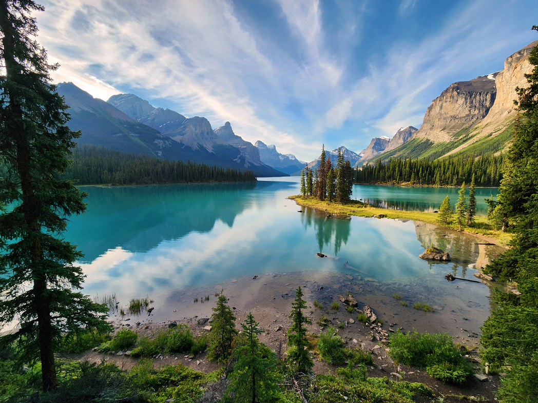
https://youtu.be/z_gpAKI9BYI?si=mjv9tvhi6D4B78Lr Spirit Island, cradled in Jasper National Park’s Maligne Lake, is among Canada’s most photographed scenes—and it’s no wonder. Turquoise water, glacier‑topped peaks, and dramatic alpine light create a postcard-perfect...
by Curt Remington | Mar 30, 2021 | Trip Reports
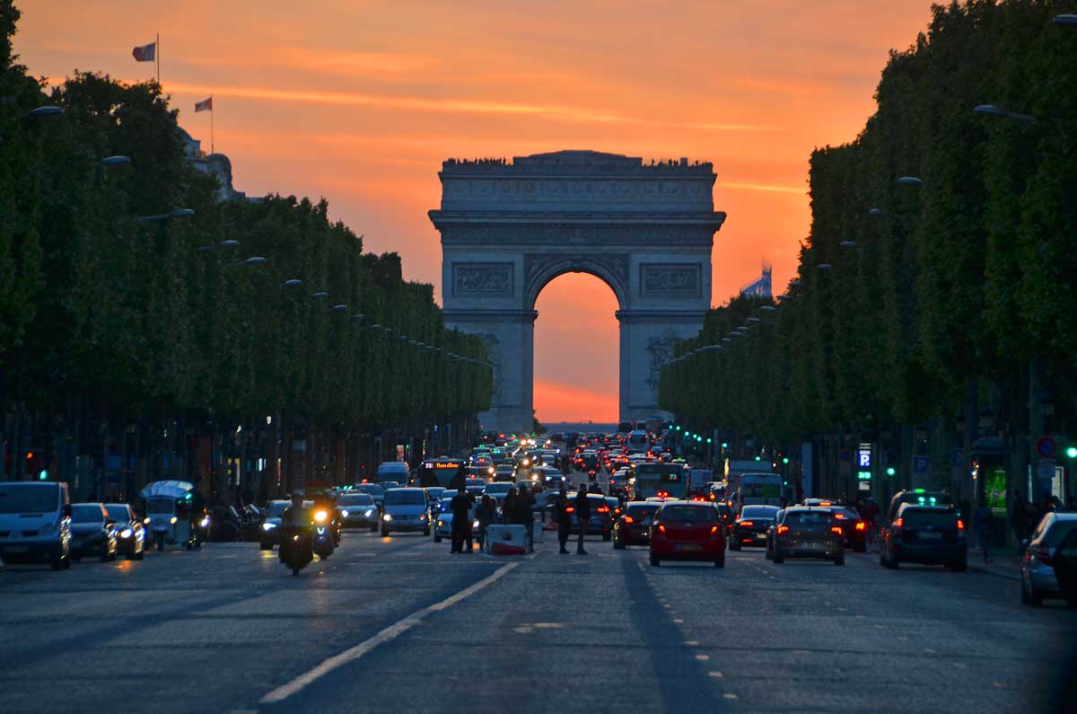
European Vacation to France, Italy, and Spain In 2008, my wife Mary, three daughters, and I went on a Mediterranean cruise, our first trip to Europe. At the time, the cruise made sense for us. Meals, lodging, and many language issues were taken care of for us. We’d...
by Curt Remington | Apr 8, 2018 | Meditation, Nature, Photography, Public Speaking, Trip Reports
Kauai, the Garden Island, is a wonderful vacation destination for nature lovers. As absolute lovers of nature, my wife Mary and I had contemplated a trip to Kauai for years. Somehow, we managed to visit all the other major islands first (Maui, the Big Island and Oahu)...
by Curt Remington | Jan 28, 2018 | Meditation, Nature, Photography, Trip Reports
For a profoundly satisfying experience, venture deep into nature and immerse yourself in her solitude. ~Curt Remington The above words came to me while writing a speech about our trip to Desolation Sound. In this blog, my goal is to share our trip with you and to...